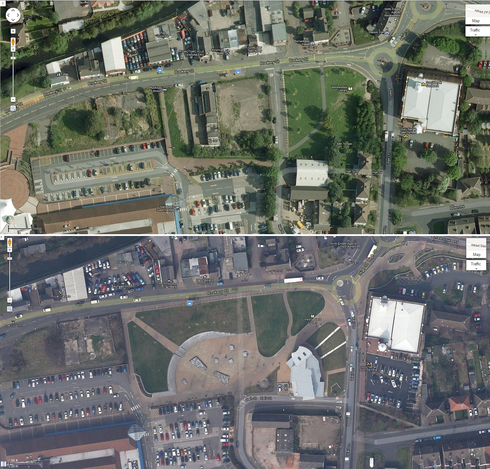
Google has recently updated it’s satellite imagery of Wolverhampton, including Wednesfield.
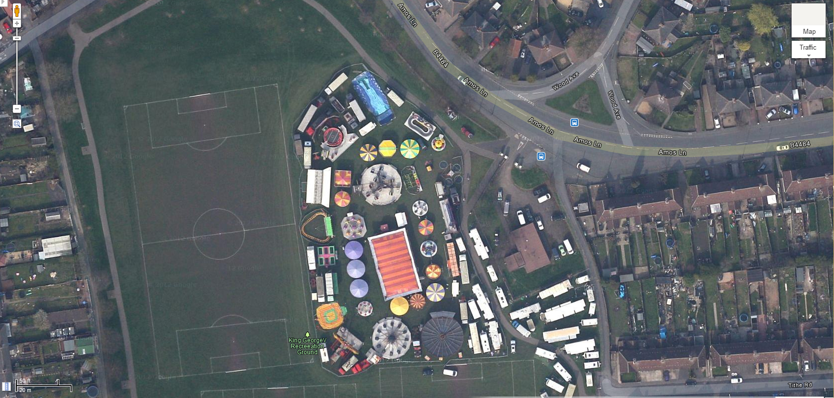
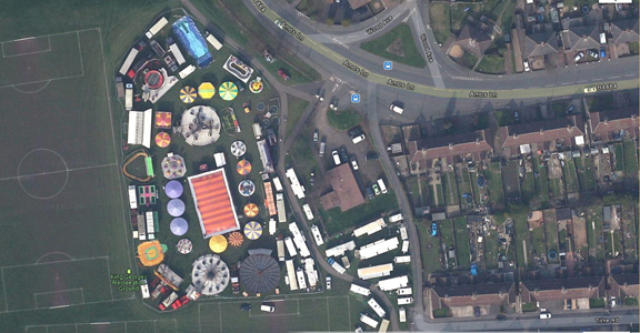
The updated images of Wednesfield were taken in March 2012 – as you can see from the image above the fair was taking place on Wednesfield Park when Google’s photo satellite passed by.
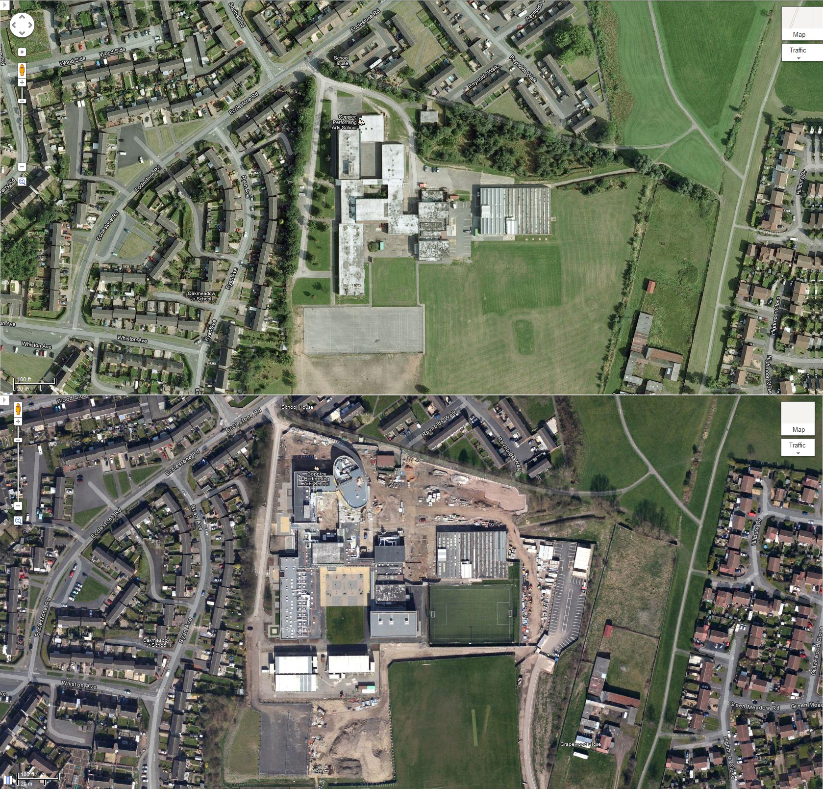
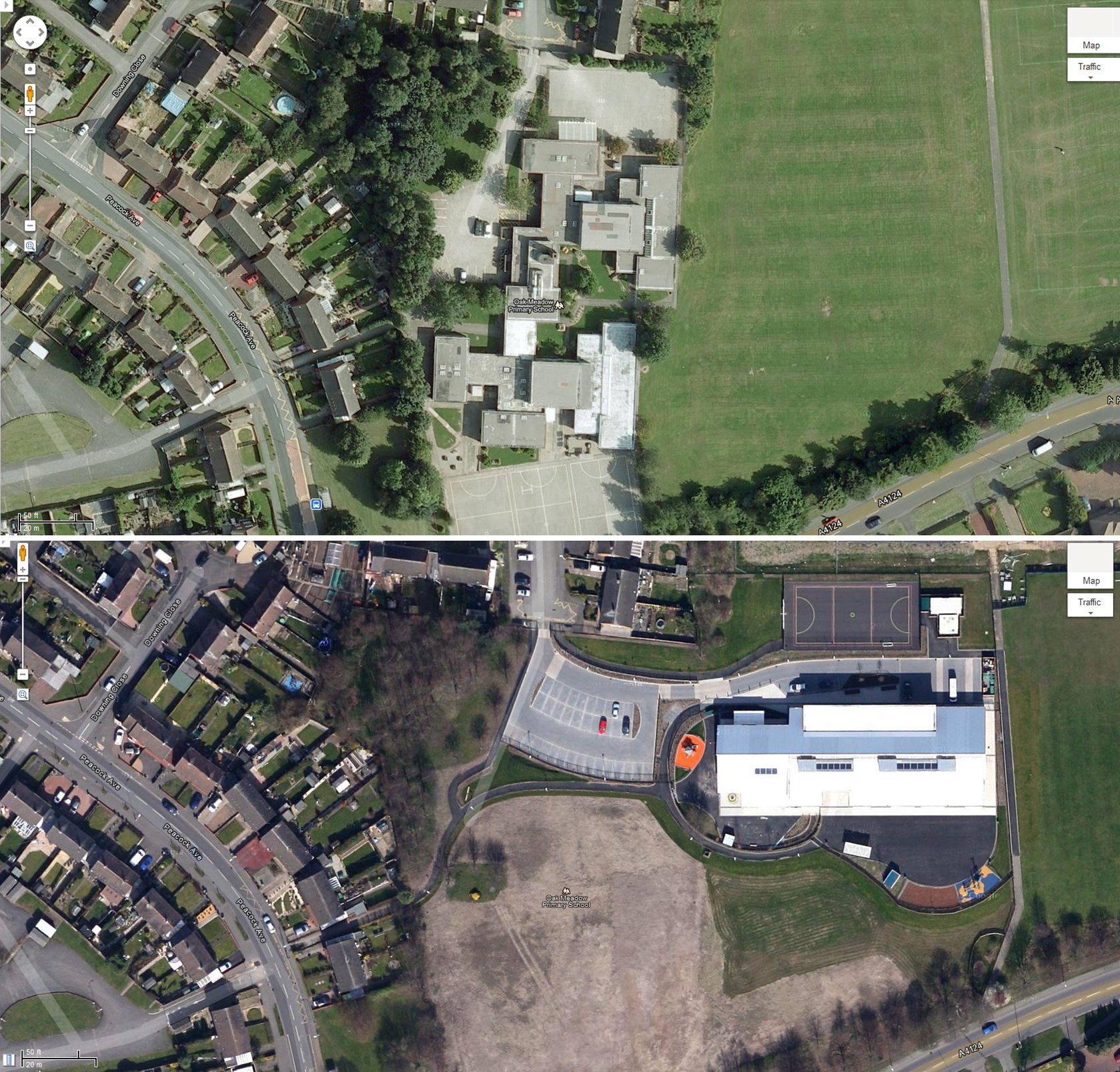
Check out some “before and after” images we’ve created below using old satellite imagery (click on the images for larger versions) and visit our Facebook page for a few more photos.
All imagery copyright Google Maps.
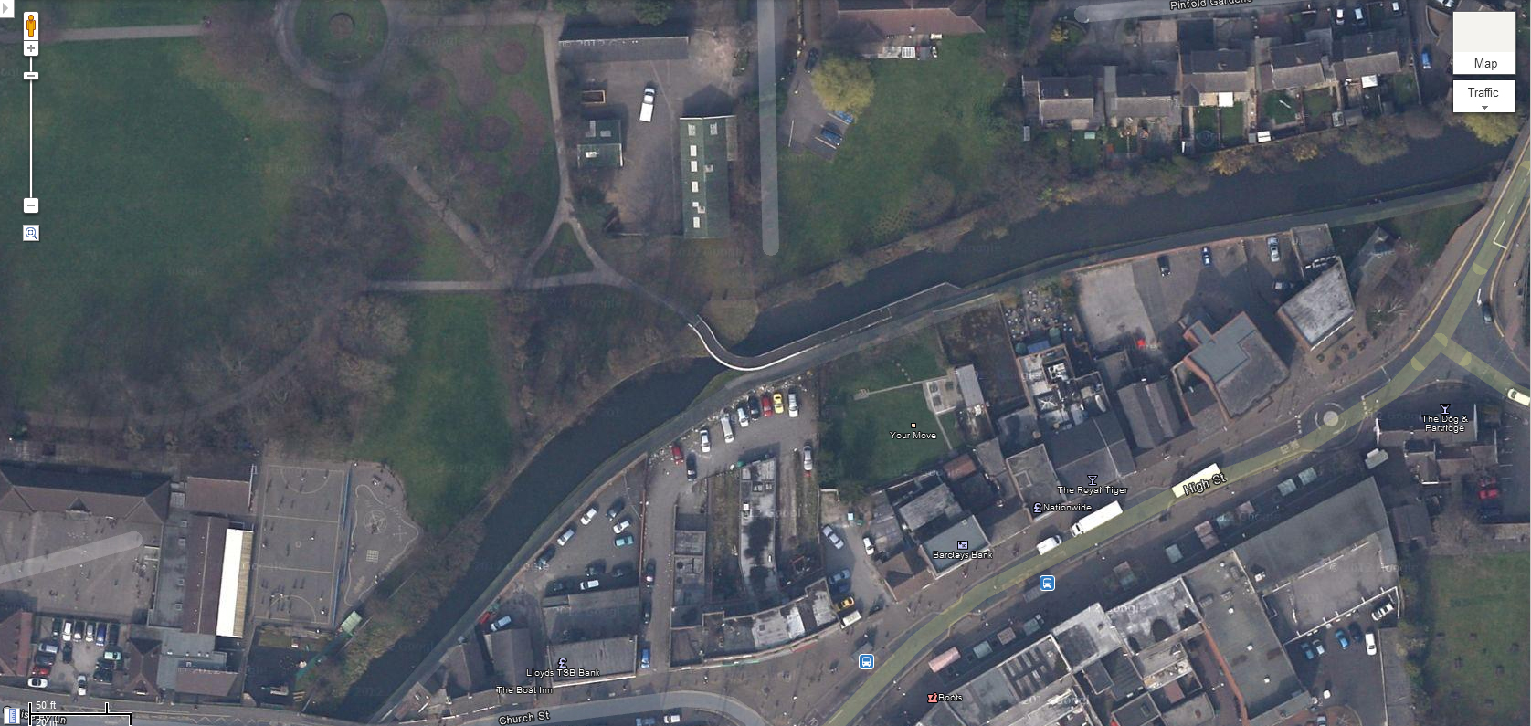
Trap Marker’s Bridge, Wednesfield
Wednesfield Library (before and after)
Oak Meadow Primary School
Coppice Performing Arts School
Wednesfield Park